Brittany and Normandy
Both of these rides are through a very scenic portion of France. Of the two, Normandy is far easier and less road traffic and can be done fairly quickly. The Brittany coast is scenic, hilly and has more road traffic.
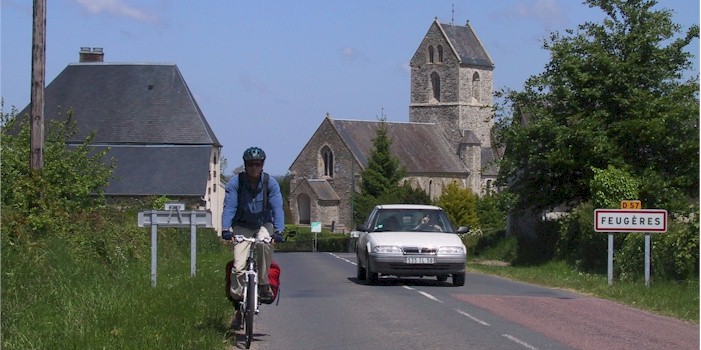
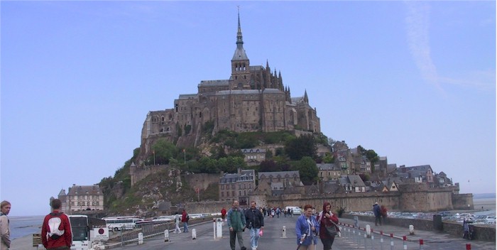
Normandy A mix of cycle paths and quite rural roads, Normandy is an area with beautiful countryside and historical sites with excellent food and drink. Normandy has 4 major routes with signage to recommended places: the Veloscenic from Perche to Mont-Saint-Michel, the D-Day Landing Beaches to the Mont-Saint-Michel, the Avenue Verte from London to Paris via Giverny and the Little Tour of the Manche from Cherbourg to the Mont-Saint-Michel. Described below is the Tour de Manche from Cherbourg to Mont-Saint-Michel.
Distance: about 350 km.
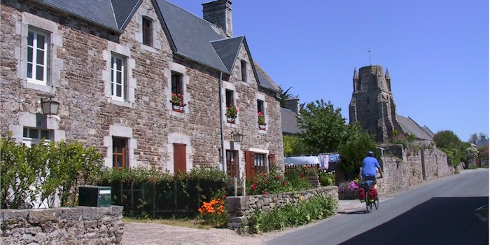
Brittany From Mont-Saint-Michel to Roscoff, following the coast of Brittany the route is hilly, on country roads and is an integral part of the EuroVelo 4. This route is definitely maritime, going along Brittany’s north coast, and makes up a section of the cross-Channel Tour de Manche cycle route.
Distance: about 400 km.
Roscoff to the Loire, This route doesn't exist as a single defined cycle way but the ride can be done on the small rural roads that follow the coast line to the Loire. The route is hilly but you can choose less step climbs by using a terrain map.
Distance: about 400 km.
Guides, Maps and Other Information
![]() Tour de Manche The site seems to be down but I'm leaving the link up in case the site returns. A 1200km long itinerary; follows the coastline of Brittany through the famous Pink Granite Coast and Cap Fréhel and links Brittany and Normandy to Dorset and Devon, two counties of South-West England.
Tour de Manche The site seems to be down but I'm leaving the link up in case the site returns. A 1200km long itinerary; follows the coastline of Brittany through the famous Pink Granite Coast and Cap Fréhel and links Brittany and Normandy to Dorset and Devon, two counties of South-West England.
The Tour de Manche by bike in Normandy on France Velo Tourisme.
Mont St-Michel - Roscoff an integral part of the EuroVelo 4. follows the cross-Channel Tour de Manche cycle route.
The coastal cycle path - Route 5 From Roscoff to the Loire valley Brittany is developing a coastal cycle path. Voie 5 (Route 5) will stick more or less closely to the region’s shores, bays and indented coastline.
Experience France A site similar to this but dedicated to cycling in France. Try the Britanny and Normandy pages.
See the Maps and Guides page for more mapping information.

Normandy, click on map for larger image.
An interactive map of the Normandy routes can be found here.
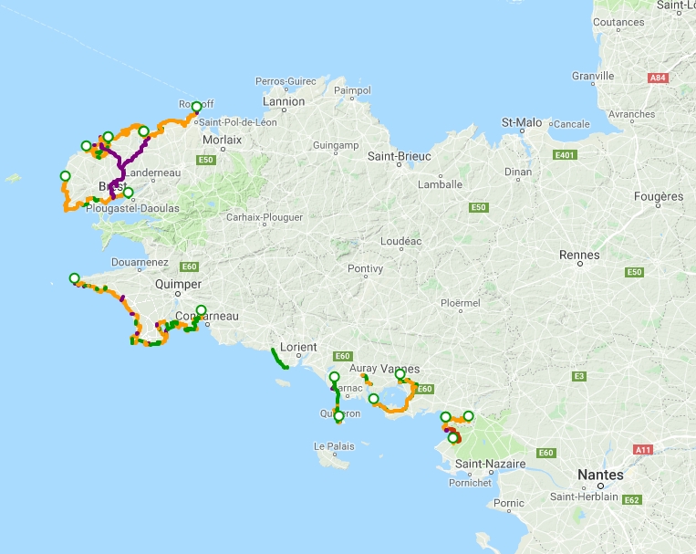
Brittany, click on map for larger image.
An interactive map of the Brittany routes can be found here.
Map information
There are many cycling apps with maps available for iphone and android. A couple of the better offline apps are listed here.
![]() Can be used to follow cycleways in this area (and other routes)
Can be used to follow cycleways in this area (and other routes)
![]() Guru Maps has the ability to show map types other than OpenStreetMap, in particular it will display OpenCycleMap.
Guru Maps has the ability to show map types other than OpenStreetMap, in particular it will display OpenCycleMap.